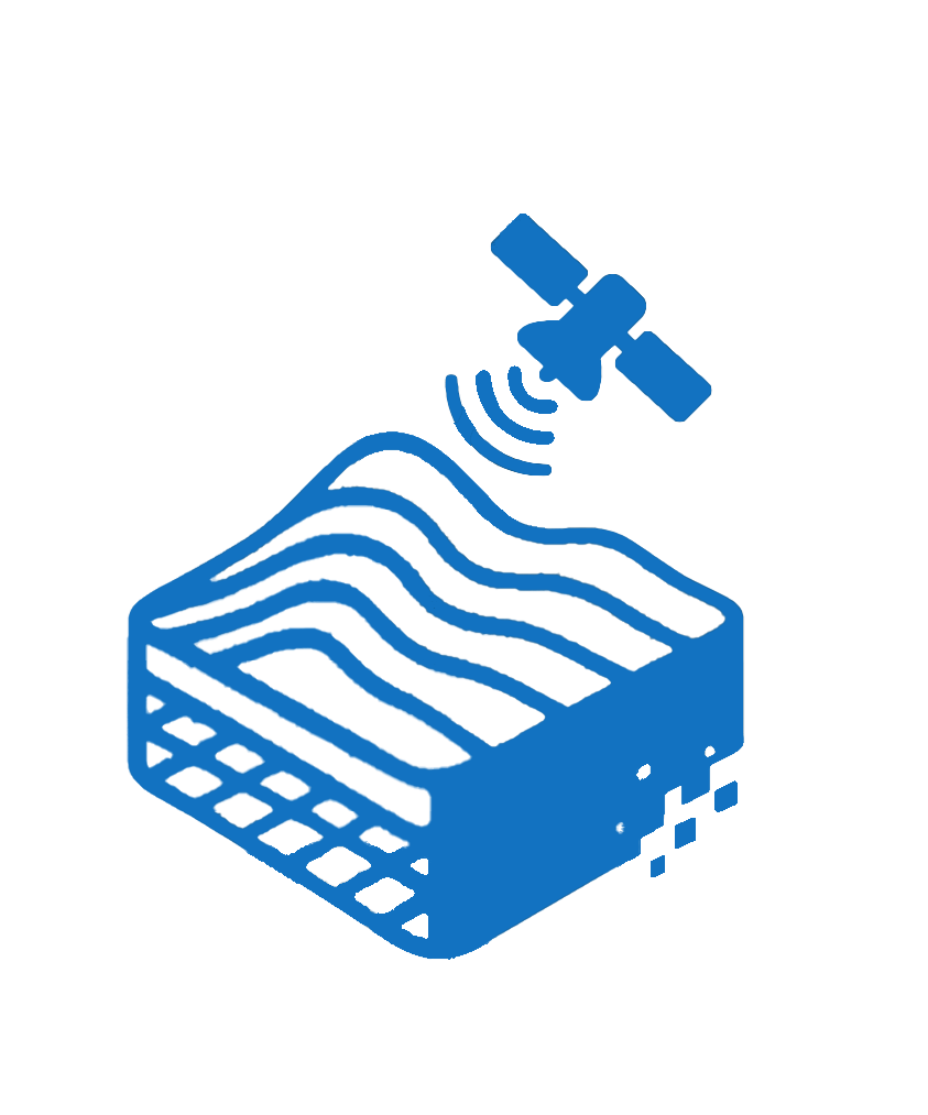
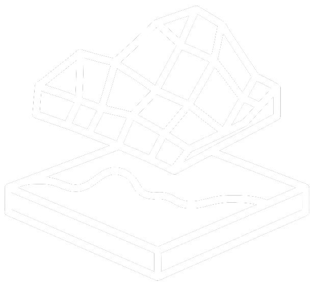
Remote Sensing, Geological Modeling & Applied Research in Earth Systems
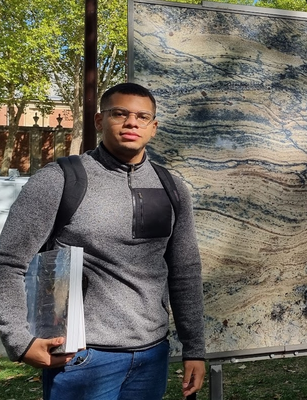
With a background in Geology and Mathematics, my work focuses on integrating remote sensing, different datasets, and 3D modeling to analyze geological systems. I’ve developed tools for real-time digital outcrop interpretation and immersive field simulations, presented research across four countries, and published as first author in peer-reviewed venues. My goal is to advance computational geoscience through multidisciplinary, data-intensive research.
Years in Applied Geoscience Research
Peer-reviewed scientific publications (first author on 4)
Presentations at international conferences across 4 countries
Scholarships & Research Fellowships (National Petroleum Agency + Santander + Brazilian Government)
Technical Skills
Hyperspectral Imaging & Spectral Data Analysis
Processing and interpretation of VNIR-SWIR hyperspectral data
Integration of datasets for geological modeling
Software: ENVI, QGIS, SpecMIN
Geoscientific Data Processing & Modeling
LiDAR, Hyperspectral, Photogrammetry
DOMs
Field simulations
3D geological reconstructions
Programming for Scientific Applications
C++, Python (geospatial libs), SQL
Unreal Engine for geology apps
Automation & data pipelines for interpretation workflows

Geovisualization & Remote Sensing Platforms
ArcGIS, QGIS, Global Mapper
ParaView, Meshroom, CloudCompare
MATLAB, Jupyter, Blender
Application Q&A:
My Readiness for a PhD
Why do I want to pursue a PhD?
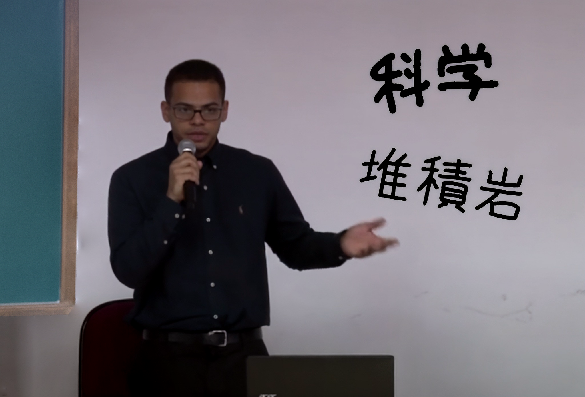
My path began in field geology, but I quickly realized that many critical problems, from mineral exploration to environmental risk modeling, demand quantitative methods beyond traditional observation. This insight led me to pursue a second degree in mathematics, with a focus on remote sensing, 3D geospatial modeling, and data integration. In my master’s project, I led the digital reconstruction of the Vaca Muerta Formation using UAV-acquired imagery, LiDAR point clouds, and hyperspectral data, producing a high-resolution stratigraphic model. This confirmed for me how computational geotechnology can decode geological complexity. Through a PhD, I aim to push this further: designing robust spatial analysis pipelines, improving reproducibility standards, and contributing to geoscience through data-intensive, domain-specific tool development.
Do I have experience with independent research?
I’ve independently led several research projects from concept to execution. These include the integration of UAV, LiDAR, and hyperspectral imagery for stratigraphic reconstruction; post-fire vegetation recovery mapping in the Pantanal wetlands; and terrain classification in Mars analog environments using radar–optical data fusion from Sentinel-1 and -2. I developed reproducible workflows, built custom geospatial databases, and authored multiple first-author manuscripts currently under peer review. Project details, including methods, datasets, and outcomes, are documented in the Projects section.
How do my skills translate to advanced research?
I combine strong technical capabilities in geospatial analysis with a solid foundation in mathematics, statistics, and software engineering. My academic background includes a B.Sc. in Mathematics, as well as training in database systems and algorithm design. I’ve applied statistical modeling and spectral analysis to remote sensing datasets, built spatial databases in SQL, and developed automation scripts in Python. My research involves integrating multisensor data (e.g., LiDAR, hyperspectral, SAR), generating 3D models, and deploying interactive platforms in Unreal Engine. These skills directly support the data-heavy, interdisciplinary demands of PhD-level geoscience research.
Can I handle the technical demands of a PhD program?
Yes. I’ve already tackled PhD-level challenges through independent and collaborative research. I’ve published in peer-reviewed venues like Lecture Notes in Computer Science (LNCS) and LNICST, and have manuscripts under review in high-impact journals such as Geo-spatial Information Science, Geomatics, Natural Hazards and Risk, and Arctic, Antarctic, and Alpine Research.
I’ve presented at major international conferences, including the 37th International Geological Congress (IGC) in South Korea and the World Congress on Earth Science and Climate Change in Paris. These efforts involved integrating complex datasets (UAV, LiDAR, hyperspectral), developing software in C++ and Python, and building immersive VR platforms. My technical depth, publication record, and project leadership show that I’m more than ready for the demands of a rigorous PhD program.
What are my research goals beyond the PhD?
After completing the PhD, I intend to pursue a postdoctoral position and later become a university professor. My long-term goal is to develop solutions for society and the geosciences by integrating mathematics, statistics, database systems, and remote sensing. I want to bridge technical rigor with real-world applications, from environmental monitoring to resource management, using scalable, data-driven geospatial tools. I also aim to consistently contribute to top-tier journals in the field, such as Remote Sensing of Environment and the ISPRS Journal of Photogrammetry and Remote Sensing. I strive to create work that combines academic impact with societal relevance, helping to shape the next generation of applied geoscience research.
Teaching Experience
Teaching Assistant – Remote Sensing (GE507), Unicamp
Supported undergraduate students in theoretical and practical modules of Remote Sensing (multispectral, hyperspectral, LiDAR, and UAV imagery).
Assisted with ENVI, Global Mapper, and Agisoft Metashape lab sessions.
Guided students through image processing workflows, project development, and digital outcrop interpretation.
Worked directly with Prof. Diego Fernando Ducart in class logistics, feedback, and project-based evaluation.
Languages and Proficiency
-
English: Fluent (C2)
Spanish: Fluent (C2)
Portuguese: Fluent (Mother tongue)
Japanese: Basic (N5)
Endorsements & References
Want to speak with someone I’ve worked with? These are real references, feel free to reach out to any of them directly.
University of São Paulo
Dr. Gabriel Mota
Undergraduate thesis advisor
Unifafibe University
Prof. Christian Silva
Research Collaborator
University of Campinas
Prof. Diego Ducart
Masters thesis advisor
University College of Dublin
Prof. Ítalo Sousa
Research Collaborator
University of Campinas
Prof. Christian Silva
Undergraduate thesis advisor
University of Campinas
Prof. Celso Carneiro
Research Collaborator
University of São Paulo
Prof. Theyson Duarte
MBA thesis advisor